| Item Detail |
| |
| |
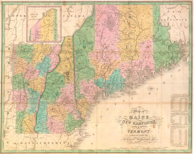
MapMaker: |
Anthony Finley
|
|
| |
| |
Subject: |
United States - New England |
|
| |
Period/Size: |
1829 / 17.3" x 21.8" (44.0 x 55.4 cm)
|
|
| |
Color: |
Colored
|
|
| |
Condition: |
Very nice full original hand coloring and strong impression. Issued folding, now professionally backed with archival tissue to support folds and fold intersections, a few with small loss. Toned on major folds. (condition help) |
|
| |
Source: |
|
|
| |
References: |
cf Philips (A) #1378; Ristow page 270. |
|
| |
|
|
| Sales Information |
| |
| |
Price: |
|
|
| |
| |
Offered by: |
Old World Auctions |
|
| |
Catalog: |
Auction No. 136 - Antique Maps, Charts, Atlases & Globes (7407) |
|
| |
Lot/Item #: |
188 |
|
| |
| |
Date: |
06/2011
|
|
| |
| |
|