Title:
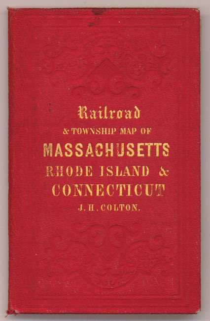
“Railroad & township map of Massachusetts, Rhode Island and Connecticut”
Map Maker:
Joseph Hutchins Colton
This large and beautifully colored pocket map is p... (full text available to subscribers)
| Item Detail |
| |
| |
MapMaker: |
Joseph Hutchins Colton
|
|
| |
| |
Subject: |
United States - New England |
|
| |
Period/Size: |
1853 / 25.0" x 28.0" (63.5 x 71.2 cm)
|
|
| |
Color: |
Colored
|
|
| |
Condition: |
Very early, strong impression and bright original coloring. On thin banknote quality paper that is supple with no apparent flaws save for two small areas of foxing. Covers are exceptional with virtually no wear and just a small stain at upper edge of fro (condition help) |
|
| |
Source: |
|
|
| |
References: |
|
|
| |
|
|
| Sales Information |
| |
| |
Price: |
|
|
| |
| |
Offered by: |
Old World Auctions |
|
| |
Catalog: |
Auction No. 136 - Antique Maps, Charts, Atlases & Globes (7407) |
|
| |
Lot/Item #: |
189 |
|
| |
| |
Date: |
06/2011
|
|
| |
| |
|
Antique Maps - Valuation and Pricing, Descriptions, Resources |
|
Home |
Information |
Search |
Register |
Contact Us |
Site Map
Americana Exchange, Inc. © 1999 - 2024 Americana Exchange, Inc.. All rights reserved.
OldMaps.com, the OldMaps.com logo and
AMPR are service marks or registered service marks of Americana Exchange, Inc..
|