Title:
“An Account of Expeditions to the sources of the Mississippi, and through the Western Parts of Louisiana, to the sources of the Arkansaw, Kans, La Platte, and Pierre Jaun, Rivers…”
Map Maker:
Zebulon Montgomery Pike
This report covers the first United States governm... (full text available to subscribers)
| Item Detail |
| |
| |
MapMaker: |
Zebulon Montgomery Pike
|
|
| |
| |
Subject: |
Southwestern United States |
|
| |
Period/Size: |
1810 / 9.0" x 5.5" (22.9 x 14.0 cm)
|
|
| |
Color: |
Black & White
|
|
| |
Condition: |
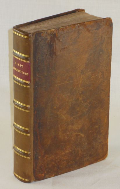
Rebacked with minimal shelf wear and scuffing to original covers. Repair to bottom corner of frontispiece, and a large tear through title page (formerly closed with tape, has now been backed with Japanese tissue. (condition help) |
|
| |
Source: |
|
|
| |
References: |
Howes #P373; Wheat (TMW) #297, #298; Wagner-Camp #9:1. |
|
| |
|
|
| Sales Information |
| |
| |
Price: |
|
|
| |
| |
Offered by: |
Old World Auctions |
|
| |
Catalog: |
Auction No. 136 - Antique Maps, Charts, Atlases & Globes (7407) |
|
| |
Lot/Item #: |
248 |
|
| |
| |
Date: |
06/2011
|
|
| |
| |
|
Antique Maps - Valuation and Pricing, Descriptions, Resources |
|
Home |
Information |
Search |
Register |
Contact Us |
Site Map
Americana Exchange, Inc. © 1999 - 2024 Americana Exchange, Inc.. All rights reserved.
OldMaps.com, the OldMaps.com logo and
AMPR are service marks or registered service marks of Americana Exchange, Inc..
|