| Item Detail |
| |
| |
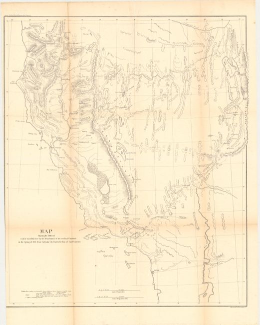
MapMaker: |
U.S. Army
|
|
| |
| |
Subject: |
United States - Southwestern |
|
| |
Period/Size: |
1856 / 22.0" x 18.0" (55.9 x 45.8 cm)
|
|
| |
Color: |
Black & White
|
|
| |
Condition: |
Issued folding, with light toning along folds and some tiny intersection tears. Binding trim at left, with some loss of neatline, and a 1" binding tear extending into blank area in map image at left, closed on verso with archival tape. (condition help) |
|
| |
Source: |
House Ex. Doc. No. 1, 1st Session, 34th Congress |
|
| |
References: |
Wheat (TMW) #868; Wagner & Camp #256. |
|
| |
|
|
| Sales Information |
| |
| |
Price: |
|
|
| |
| |
Offered by: |
Old World Auctions |
|
| |
Catalog: |
Auction No. 136 - Antique Maps, Charts, Atlases & Globes (7407) |
|
| |
Lot/Item #: |
253 |
|
| |
| |
Date: |
06/2011
|
|
| |
| |
|