| Item Detail |
| |
| |
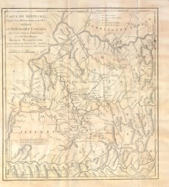
MapMaker: |
John Filson
|
|
| |
| |
Subject: |
Kentucky |
|
| |
Period/Size: |
1785 / 13.5" x 12.3" (34.3 x 31.3 cm)
|
|
| |
Color: |
Black & White
|
|
| |
Condition: |
Map with light, uneven toning. In need of rebacking with warped back board and part of spine detached. Light damp stains at beginning and end of text block, with a small tear on p.99. (condition help) |
|
| |
Source: |
Histoire de Kentucke |
|
| |
References: |
Howes #F129 |
|
| |
|
|
| Sales Information |
| |
| |
Price: |
|
|
| |
| |
Offered by: |
Old World Auctions |
|
| |
Catalog: |
Auction No. 136 - Antique Maps, Charts, Atlases & Globes (7407) |
|
| |
Lot/Item #: |
297 |
|
| |
| |
Date: |
06/2011
|
|
| |
| |
|