| Item Detail |
| |
| |
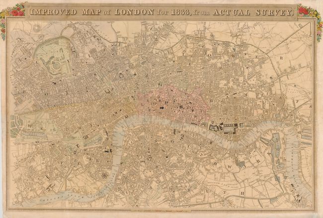
MapMaker: |
George Virtue
|
|
| |
| |
Subject: |
London, England |
|
| |
Period/Size: |
1833 / 16.5" x 25.8" (42.0 x 65.6 cm)
|
|
| |
Color: |
Colored
|
|
| |
Condition: |
Fold separations on the left and top portion of the image have been repaired on verso. Light toning and spotting in the image. Issued folded with binding trim replaced at right. (condition help) |
|
| |
Source: |
|
|
| |
References: |
Howgego #349. |
|
| |
|
|
| Sales Information |
| |
| |
Price: |
|
|
| |
| |
Offered by: |
Old World Auctions |
|
| |
Catalog: |
Auction No. 136 - Antique Maps, Charts, Atlases & Globes (7407) |
|
| |
Lot/Item #: |
481 |
|
| |
| |
Date: |
06/2011
|
|
| |
| |
|