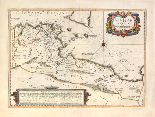
Title:
“Africae Propriae Tabula. In qua, Punica Regna Vides, Tyrios, et Agenoris Urbem”
Map Maker:
Jan Jansson
Decorative map of the coastline covering present-d... (full text available to subscribers)
| Item Detail |
| |
| |
MapMaker: |
Jan Jansson
|
|
| |
| |
Subject: |
Africa - Northern |
|
| |
Period/Size: |
1657 / 14.5" x 20.3" (36.9 x 51.6 cm)
|
|
| |
Color: |
Colored
|
|
| |
Condition: |
A few minor tears in the blank margin, else fine. (condition help) |
|
| |
Source: |
Atlas Novus |
|
| |
References: |
Phillips (A) #5944, Vol. 6 #16. |
|
| |
|
|
| Sales Information |
| |
| |
Price: |
|
|
| |
| |
Offered by: |
Old World Auctions |
|
| |
Catalog: |
Auction No. 136 - Antique Maps, Charts, Atlases & Globes (7407) |
|
| |
Lot/Item #: |
736 |
|
| |
| |
Date: |
06/2011
|
|
| |
| |
|
Antique Maps - Valuation and Pricing, Descriptions, Resources |
|
Home |
Information |
Search |
Register |
Contact Us |
Site Map
Americana Exchange, Inc. © 1999 - 2024 Americana Exchange, Inc.. All rights reserved.
OldMaps.com, the OldMaps.com logo and
AMPR are service marks or registered service marks of Americana Exchange, Inc..
|