Title:
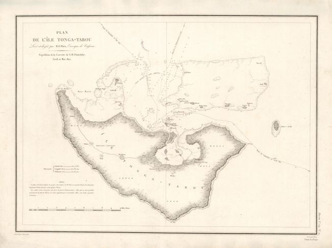
“Plan de l'Ile Tonga-Tabou Leve et dresse par M.E. Paris, Enseigne de Vaisseau. Expedition de la Corvette de S.M. l'Astrolabe”
Map Maker:
Jules Sebasian Cesar Dumont d'Urville
Detailed chart of the major island in the Tonga gr... (full text available to subscribers)
| Item Detail |
| |
| |
MapMaker: |
Jules Sebasian Cesar Dumont d'Urville
|
|
| |
| |
Subject: |
Pacific Islands, Tonga |
|
| |
Period/Size: |
1835 / 16.7" x 23.0" (42.5 x 58.5 cm)
|
|
| |
Color: |
Black & White
|
|
| |
Condition: |
Mild soiling in map and a few small tears in the blank margin which have been repaired with tissue on verso. (condition help) |
|
| |
Source: |
|
|
| |
References: |
|
|
| |
|
|
| Sales Information |
| |
| |
Price: |
|
|
| |
| |
Offered by: |
Old World Auctions |
|
| |
Catalog: |
Auction No. 136 - Antique Maps, Charts, Atlases & Globes (7407) |
|
| |
Lot/Item #: |
765 |
|
| |
| |
Date: |
06/2011
|
|
| |
| |
|
Antique Maps - Valuation and Pricing, Descriptions, Resources |
|
Home |
Information |
Search |
Register |
Contact Us |
Site Map
Americana Exchange, Inc. © 1999 - 2024 Americana Exchange, Inc.. All rights reserved.
OldMaps.com, the OldMaps.com logo and
AMPR are service marks or registered service marks of Americana Exchange, Inc..
|