Title:
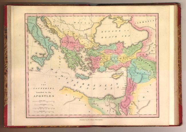
“An Atlas of Ancient Geography Comprehended in Sixteen Maps, Selected from the most Approved Works, to elucidate the Writings of the Ancient Authors…”
Map Maker:
Henry Schenck Tanner
This fine example of Tanner's scarce historical at... (full text available to subscribers)
| Item Detail |
| |
| |
MapMaker: |
Henry Schenck Tanner
|
|
| |
| |
Subject: |
Atlases |
|
| |
Period/Size: |
1826 / 8.5" x 10.8" (21.6 x 27.5 cm)
|
|
| |
Color: |
Colored
|
|
| |
Condition: |
The maps are on thick paper with crisp, early impression and beautiful color in Tanner's style. All of the maps are fine except for the map of Solomon and Hispania, which each have a small marginal tear well closed on verso with old paper repairs, and sc (condition help) |
|
| |
Source: |
|
|
| |
References: |
Rumsey 5532 |
|
| |
|
|
| Sales Information |
| |
| |
Price: |
|
|
| |
| |
Offered by: |
Old World Auctions |
|
| |
Catalog: |
Auction No. 136 - Antique Maps, Charts, Atlases & Globes (7407) |
|
| |
Lot/Item #: |
791 |
|
| |
| |
Date: |
06/2011
|
|
| |
| |
|
Antique Maps - Valuation and Pricing, Descriptions, Resources |
|
Home |
Information |
Search |
Register |
Contact Us |
Site Map
Americana Exchange, Inc. © 1999 - 2024 Americana Exchange, Inc.. All rights reserved.
OldMaps.com, the OldMaps.com logo and
AMPR are service marks or registered service marks of Americana Exchange, Inc..
|