Title:
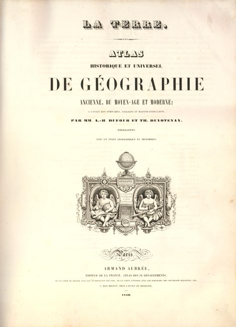
“Atlas Historique et Universel de Geographie Ancienne, du Moyen-Age et Moderne”
Map Maker:
Dufour & Duvotenay
Complete folio atlas containing 44 maps including ... (full text available to subscribers)
| Item Detail |
| |
| |
MapMaker: |
Dufour & Duvotenay
|
|
| |
| |
Subject: |
Atlases |
|
| |
Period/Size: |
1840 / 16.3" x 12.3" (41.4 x 31.3 cm)
|
|
| |
Color: |
Colored
|
|
| |
Condition: |
All of the maps are very good with some light toning and occasional foxing except as follows. There are some ink notations on the maps of Central Europe and France. The double-page maps of Europe and Central Europe have clean splits on centerfold about (condition help) |
|
| |
Source: |
|
|
| |
References: |
|
|
| |
|
|
| Sales Information |
| |
| |
Price: |
|
|
| |
| |
Offered by: |
Old World Auctions |
|
| |
Catalog: |
Auction No. 136 - Antique Maps, Charts, Atlases & Globes (7407) |
|
| |
Lot/Item #: |
792 |
|
| |
| |
Date: |
06/2011
|
|
| |
| |
|
Antique Maps - Valuation and Pricing, Descriptions, Resources |
|
Home |
Information |
Search |
Register |
Contact Us |
Site Map
Americana Exchange, Inc. © 1999 - 2024 Americana Exchange, Inc.. All rights reserved.
OldMaps.com, the OldMaps.com logo and
AMPR are service marks or registered service marks of Americana Exchange, Inc..
|