Title:
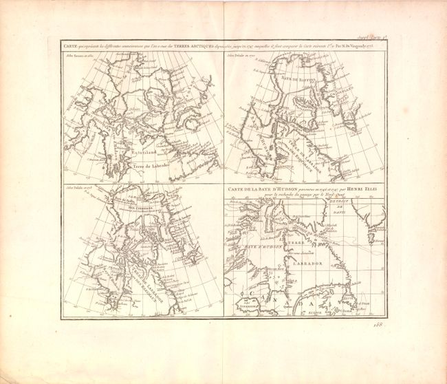
“Carte Qui Represente Les Differentes Connoissances Que l'on a Eues des Terres Arctiques Depuis 1650 Jusqu'en 1747 Ausquelles il Faut Comparer La Carte Suivante”
Map Maker:
Robert de Vaugondy [Family]
This is the first state of a fascinating group of ... (full text available to subscribers)
| Item Detail |
| |
| |
MapMaker: |
Robert de Vaugondy [Family]
|
|
| |
| |
Subject: |
Canada |
|
| |
Period/Size: |
1773 / 11.5" x 13.5" (29.3 x 34.3 cm)
|
|
| |
Color: |
Black & White
|
|
| |
Condition: |
Wide margins on watermarked paper with light creasing at top along centerfold and a few insignificant spots. Remnants of hinge tape on verso. (condition help) |
|
| |
Source: |
Diderot's Encyclopedie (Supplement) |
|
| |
References: |
Kershaw #476; Pedley #24. |
|
| |
|
|
| Sales Information |
| |
| |
Price: |
|
|
| |
| |
Offered by: |
Old World Auctions |
|
| |
Catalog: |
Auction No. 137 - Antique Maps, Charts, Atlases & Globes (7408) |
|
| |
Lot/Item #: |
127 |
|
| |
| |
Date: |
09/2011
|
|
| |
| |
|
Antique Maps - Valuation and Pricing, Descriptions, Resources |
|
Home |
Information |
Search |
Register |
Contact Us |
Site Map
Americana Exchange, Inc. © 1999 - 2024 Americana Exchange, Inc.. All rights reserved.
OldMaps.com, the OldMaps.com logo and
AMPR are service marks or registered service marks of Americana Exchange, Inc..
|