| Item Detail |
| |
| |
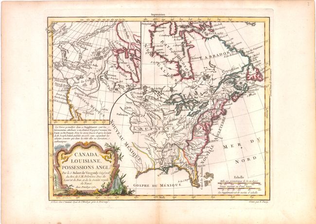
MapMaker: |
Didier Robert de Vaugondy
|
|
| |
| |
Subject: |
Colonial United States and Canada |
|
| |
Period/Size: |
1762 / 9.3" x 11.3" (23.7 x 28.7 cm)
|
|
| |
Color: |
Colored
|
|
| |
Condition: |
A fine impression with wide side margins and faint toning along centerfold at bottom. A short centerfold separation at bottom does not enter map image and has been closed on verso with archival tape. (condition help) |
|
| |
Source: |
Atlas Portatif |
|
| |
References: |
McCorkle, #762.3; Pedley, #449; Sellers & Van Ee #96, McGuirk, #110. |
|
| |
|
|
| Sales Information |
| |
| |
Price: |
|
|
| |
| |
Offered by: |
Old World Auctions |
|
| |
Catalog: |
Auction No. 137 - Antique Maps, Charts, Atlases & Globes (7408) |
|
| |
Lot/Item #: |
143 |
|
| |
| |
Date: |
09/2011
|
|
| |
| |
|