| Item Detail |
| |
| |
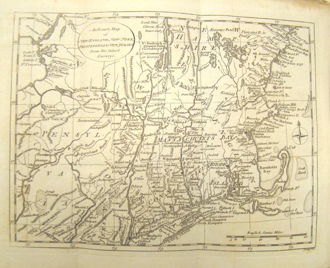
MapMaker: |
John Lodge
|
|
| |
| |
Subject: |
Colonial New England and Mid-Atlantic |
|
| |
Period/Size: |
1777 / 9.5" x 6.5" (24.2 x 16.6 cm)
|
|
| |
Color: |
Black & White
|
|
| |
Condition: |
Condition code is for the map. Nice early impression. There is some light scattered foxing and toning primarily in the margins, else very good. The magazine has tattered covers, but text is readable and the map and engraving are nicely protected. (condition help) |
|
| |
Source: |
The English Magazine |
|
| |
References: |
|
|
| |
|
|
| Sales Information |
| |
| |
Price: |
|
|
| |
| |
Offered by: |
Old World Auctions |
|
| |
Catalog: |
Auction No. 137 - Antique Maps, Charts, Atlases & Globes (7408) |
|
| |
Lot/Item #: |
197 |
|
| |
| |
Date: |
09/2011
|
|
| |
| |
|