| Item Detail |
| |
| |
MapMaker: |
U.S. War Department
|
|
| |
| |
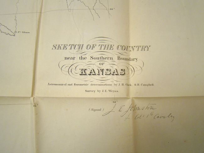
Subject: |
Kansas Territory |
|
| |
Period/Size: |
1858 / 21.0" x 48.0" (53.4 x 122.0 cm)
|
|
| |
Color: |
Colored
|
|
| |
Condition: |
This large map is in remarkable condition given its size and paper. It is clean and bright with one tiny fold intersection split. Folded as issued and separated from the report. (condition help) |
|
| |
Source: |
HR Doc #103, 35th Congress, 1st Session |
|
| |
References: |
Wagner & Camp #301a; Rittenhouse (The Santa Fe Trail) #330. |
|
| |
|
|
| Sales Information |
| |
| |
Price: |
|
|
| |
| |
Offered by: |
Old World Auctions |
|
| |
Catalog: |
Auction No. 137 - Antique Maps, Charts, Atlases & Globes (7408) |
|
| |
Lot/Item #: |
317 |
|
| |
| |
Date: |
09/2011
|
|
| |
| |
|