Title:
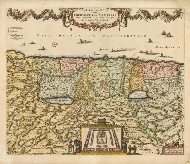
“Terra Sancta, sive Promissionis, olim Palestina Recens Delineata, et in Lucem”
Map Maker:
Nicolas Visscher
North is oriented to the right on this richly deco... (full text available to subscribers)
| Item Detail |
| |
| |
MapMaker: |
Nicolas Visscher
|
|
| |
| |
Subject: |
Holy Land |
|
| |
Period/Size: |
1659 / 18.3" x 22.3" (46.5 x 56.7 cm)
|
|
| |
Color: |
Colored
|
|
| |
Condition: |
Centerfold separations that enter map image 1/4" at top and 2" at bottom have been professionally repaired. Bottom left and top right corners have been repaired with old paper, with minute loss of neatline in top right corner. Backed with Japanese tissu (condition help) |
|
| |
Source: |
|
|
| |
References: |
Laor #793. |
|
| |
|
|
| Sales Information |
| |
| |
Price: |
|
|
| |
| |
Offered by: |
Old World Auctions |
|
| |
Catalog: |
Auction No. 137 - Antique Maps, Charts, Atlases & Globes (7408) |
|
| |
Lot/Item #: |
691 |
|
| |
| |
Date: |
09/2011
|
|
| |
| |
|
Antique Maps - Valuation and Pricing, Descriptions, Resources |
|
Home |
Information |
Search |
Register |
Contact Us |
Site Map
Americana Exchange, Inc. © 1999 - 2024 Americana Exchange, Inc.. All rights reserved.
OldMaps.com, the OldMaps.com logo and
AMPR are service marks or registered service marks of Americana Exchange, Inc..
|