| Item Detail |
| |
| |
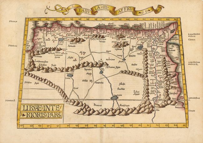
MapMaker: |
Ptolemy/Fries
|
|
| |
| |
Subject: |
Northern Africa |
|
| |
Period/Size: |
1535 / 13.2" x 18.0" (33.6 x 45.8 cm)
|
|
| |
Color: |
Colored
|
|
| |
Condition: |
A few expertly repaired holes in blank areas along centerfold, and a few minute holes in border that are only visible when held up to light. Top-left corner has been replaced with old paper, far from map image. (condition help) |
|
| |
Source: |
Claudii Ptolemaei Alexandrini Geographicae Enarrationisģ |
|
| |
References: |
Mickwitz & Miekkavaara, (Nordenskiold Vol. 2) #209, map 29. |
|
| |
|
|
| Sales Information |
| |
| |
Price: |
|
|
| |
| |
Offered by: |
Old World Auctions |
|
| |
Catalog: |
Auction No. 137 - Antique Maps, Charts, Atlases & Globes (7408) |
|
| |
Lot/Item #: |
794 |
|
| |
| |
Date: |
09/2011
|
|
| |
| |
|