Title:
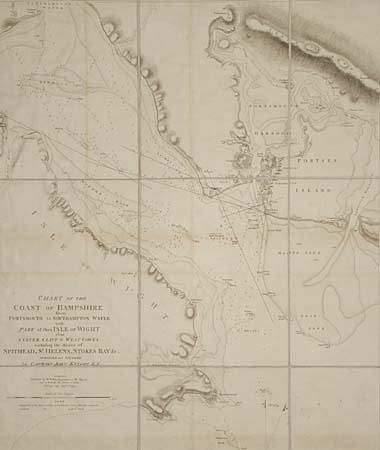
“Chart of the Coast of Hampshire from Culver Cliff to West Cowes including the Roads of Spithead, St. Helens, Stokes Bay & c. Surveyed and Sounded by Captain John Knight R.N. (Case Y).”
Map Maker:
William Faden
Linen backed folding navigation chart showing dept... (full text available to subscribers)
| Item Detail |
| |
| |
MapMaker: |
William Faden
|
|
| |
| |
Subject: |
England |
|
| |
Period/Size: |
1799 / 21.0" x 25.0" (53.4 x 63.5 cm)
|
|
| |
Color: |
Black & White
|
|
| |
Condition: |
(B) Original blue silk binding on edges, partially detached. Light offsetting. (condition help) |
|
| |
Source: |
|
|
| |
References: |
|
|
| |
|
|
| Sales Information |
| |
| |
Price: |
|
|
| |
| |
Offered by: |
Old World Auctions |
|
| |
Catalog: |
Auction No. 95 - Antique Maps, Charts, Atlases & Globes (167) |
|
| |
Lot/Item #: |
236 |
|
| |
| |
Date: |
06/2001
|
|
| |
| |
|
Antique Maps - Valuation and Pricing, Descriptions, Resources |
|
Home |
Information |
Search |
Register |
Contact Us |
Site Map
Americana Exchange, Inc. © 1999 - 2024 Americana Exchange, Inc.. All rights reserved.
OldMaps.com, the OldMaps.com logo and
AMPR are service marks or registered service marks of Americana Exchange, Inc..
|