| Item Detail |
| |
| |
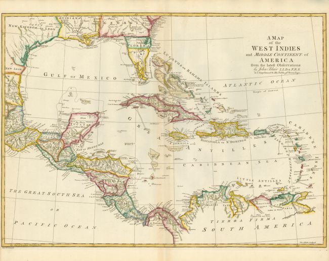
MapMaker: |
John Blair
|
|
| |
| |
Subject: |
Gulf of Mexico and Caribbean |
|
| |
Period/Size: |
1768 / 16.3" x 22.6" (41.4 x 57.4 cm)
|
|
| |
Color: |
Colored
|
|
| |
Condition: |
Sharp impression on watermarked paper. Faint toning along the centerfold. Clean tear barely entering the map in the lower-left hand side repaired on verso with archival tape. Narrow side margins as issued. (condition help) |
|
| |
Source: |
The Chronology and History of the World |
|
| |
References: |
|
|
| |
|
|
| Sales Information |
| |
| |
Price: |
|
|
| |
| |
Offered by: |
Old World Auctions |
|
| |
Catalog: |
Auction No. 138 - Antique Maps, Charts, Atlases & Globes (7409) |
|
| |
Lot/Item #: |
381 |
|
| |
| |
Date: |
12/2011
|
|
| |
| |
|