Title:
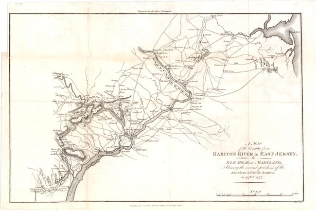
“A Map of the Country from Rariton River in East Jersey, to Elk Head in Maryland, Showing the Several Operations of the American & British Armies in 1776 & 1777”
Map Maker:
Richard Phillips
A fine Revolutionary War plan covering the ... (full text available to subscribers)
| Item Detail |
| |
| |
MapMaker: |
Richard Phillips
|
|
| |
| |
Subject: |
Mid-Atlantic United States |
|
| |
Period/Size: |
1806 / 9.8" x 15.5" (24.9 x 39.4 cm)
|
|
| |
Color: |
Black & White
|
|
| |
Condition: |
There is one tiny tear that just extends beyond the neatline at the binding trim and there is some minor offsetting in the image. Issued folding. (condition help) |
|
| |
Source: |
Marshall's Life of Washington |
|
| |
References: |
|
|
| |
|
|
| Sales Information |
| |
| |
Price: |
|
|
| |
| |
Offered by: |
Old World Auctions |
|
| |
Catalog: |
Auction No. 138 - Antique Maps, Charts, Atlases & Globes (7409) |
|
| |
Lot/Item #: |
205 |
|
| |
| |
Date: |
12/2011
|
|
| |
| |
|
Antique Maps - Valuation and Pricing, Descriptions, Resources |
|
Home |
Information |
Search |
Register |
Contact Us |
Site Map
Americana Exchange, Inc. © 1999 - 2024 Americana Exchange, Inc.. All rights reserved.
OldMaps.com, the OldMaps.com logo and
AMPR are service marks or registered service marks of Americana Exchange, Inc..
|