| Item Detail |
| |
| |
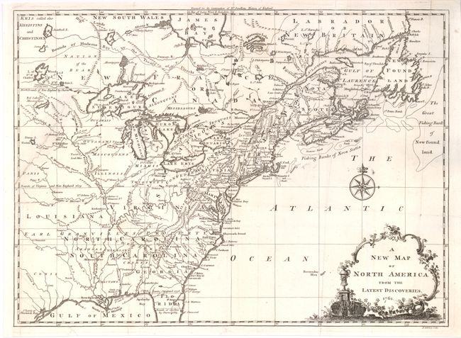
MapMaker: |
John Spilsbury
|
|
| |
| |
Subject: |
Colonial United States and Canada |
|
| |
Period/Size: |
1761 / 10.9" x 14.8" (27.7 x 37.5 cm)
|
|
| |
Color: |
Black & White
|
|
| |
Condition: |
Bright, early impression. Professionally backed with closed 3" tear from left side, otherwise a beautiful example. Two large watermarks, one an elaborate production in a large circular border. (condition help) |
|
| |
Source: |
Smollett's Continuation of the Complete History of England |
|
| |
References: |
McCorkle #761-3; Sellers & Van Ee #89. |
|
| |
|
|
| Sales Information |
| |
| |
Price: |
|
|
| |
| |
Offered by: |
Old World Auctions |
|
| |
Catalog: |
Auction No. 138 - Antique Maps, Charts, Atlases & Globes (7409) |
|
| |
Lot/Item #: |
135 |
|
| |
| |
Date: |
12/2011
|
|
| |
| |
|