| Item Detail |
| |
| |
MapMaker: |
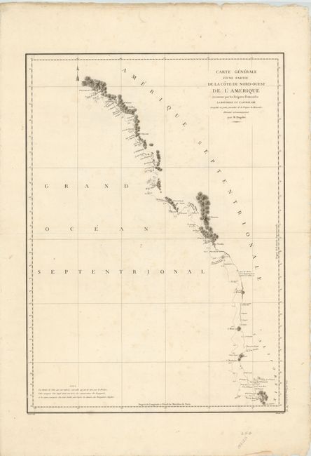
Jean Francois Galaup de La Perouse
|
|
| |
| |
Subject: |
Western Canada & United States |
|
| |
Period/Size: |
1797 / 27.0" x 19.5" (68.6 x 49.6 cm)
|
|
| |
Color: |
Black & White
|
|
| |
Condition: |
Nice impression on thick watermarked paper with ample margins. There is some light spotting in the image and a few tiny extraneous creases, else very good. The edges of the sheet are slightly tattered, well away from the image. (condition help) |
|
| |
Source: |
Atlas du Voyage de la Perouse |
|
| |
References: |
Falk #1797-8; Wagner (NW) #840. |
|
| |
|
|
| Sales Information |
| |
| |
Price: |
|
|
| |
| |
Offered by: |
Old World Auctions |
|
| |
Catalog: |
Auction No. 138 - Antique Maps, Charts, Atlases & Globes (7409) |
|
| |
Lot/Item #: |
155 |
|
| |
| |
Date: |
12/2011
|
|
| |
| |
|