Title:
“Mitchell's School Atlas: Comprising The Maps and Tables Designed to Accompany Mitchell's School and Family Geography”
Map Maker:
Thomas, Cowperthwait & Co.
A nice example of Mitchell's famous school atlas c... (full text available to subscribers)
| Item Detail |
| |
| |
MapMaker: |
Thomas, Cowperthwait & Co.
|
|
| |
| |
Subject: |
Geography Books |
|
| |
Period/Size: |
1852 / 12.0" x 10.0" (30.5 x 25.4 cm)
|
|
| |
Color: |
Colored
|
|
| |
Condition: |
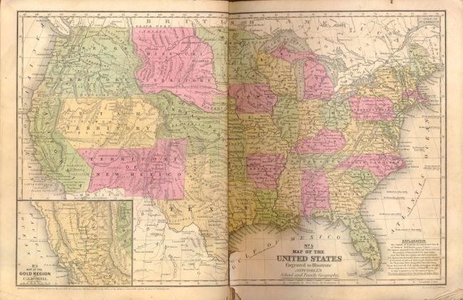
Overall the maps show some light browning. The map of North America has a three-inch tear in the lower right portion of the image but is isolated to the Atlantic Ocean. The United States map has a one-inch tear near the centerfold confined to the Gulf o (condition help) |
|
| |
Source: |
|
|
| |
References: |
|
|
| |
|
|
| Sales Information |
| |
| |
Price: |
|
|
| |
| |
Offered by: |
Old World Auctions |
|
| |
Catalog: |
Auction No. 138 - Antique Maps, Charts, Atlases & Globes (7409) |
|
| |
Lot/Item #: |
911 |
|
| |
| |
Date: |
12/2011
|
|
| |
| |
|
Antique Maps - Valuation and Pricing, Descriptions, Resources |
|
Home |
Information |
Search |
Register |
Contact Us |
Site Map
Americana Exchange, Inc. © 1999 - 2024 Americana Exchange, Inc.. All rights reserved.
OldMaps.com, the OldMaps.com logo and
AMPR are service marks or registered service marks of Americana Exchange, Inc..
|