| Item Detail |
| |
| |
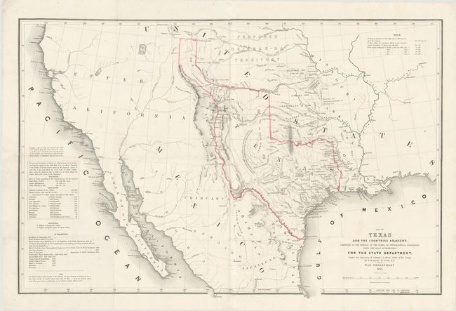
MapMaker: |
William Hemsley Emory
|
|
| |
| |
Subject: |
Texas, Southwestern United States |
|
| |
Period/Size: |
1844 / 21.3" x 32.5" (54.1 x 82.6 cm)
|
|
| |
Color: |
Colored
|
|
| |
Condition: |
Nice dark impression on bright paper with a few small, faint spots. Issued on two joined sheets and folded. There are four quarter-sized holes and a 1x3" hole at center which have been expertly restored in facsimile. The map is backed with Japanese tis (condition help) |
|
| |
Source: |
|
|
| |
References: |
Wheat (TMW), #478; Martin & Martin, #33. |
|
| |
|
|
| Sales Information |
| |
| |
Price: |
|
|
| |
| |
Offered by: |
Old World Auctions |
|
| |
Catalog: |
Auction No. 138 - Antique Maps, Charts, Atlases & Globes (7409) |
|
| |
Lot/Item #: |
338 |
|
| |
| |
Date: |
12/2011
|
|
| |
| |
|