Title:
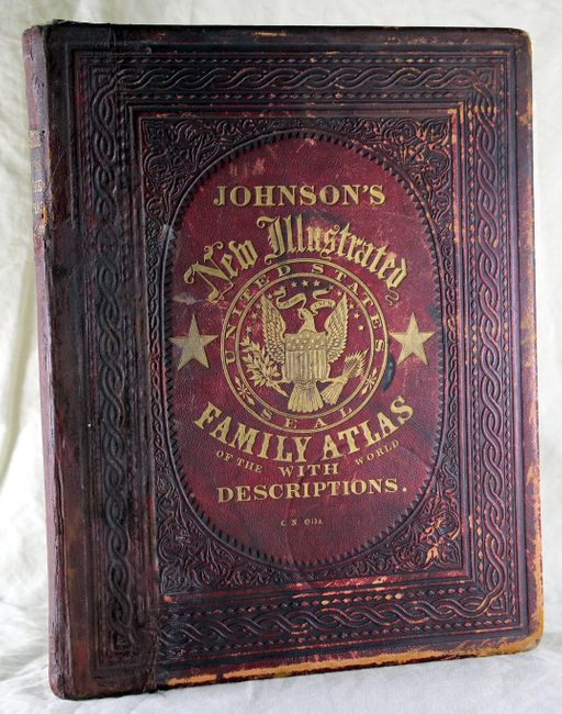
“Johnson's New Illustrated (Steel Plated) Family Atlas, with Physical Geography, and With Descriptions Geographical, Statistical, and Historical, including The Latest Federal Census…”
Map Maker:
Johnson & Ward
This atlas contains 65 of the original 66 beautifu... (full text available to subscribers)
| Item Detail |
| |
| |
MapMaker: |
Johnson & Ward
|
|
| |
| |
Subject: |
Atlases |
|
| |
Period/Size: |
1863 / 18.0" x 14.5" (45.8 x 36.9 cm)
|
|
| |
Color: |
Colored
|
|
| |
Condition: |
Maps are in full original color, and in general maps and text are in near fine to good condition, with some light toning, occasional spots, and marginal soiling. The New Military Map of the US has a long centerfold separation that has been repaire (condition help) |
|
| |
Source: |
|
|
| |
References: |
|
|
| |
|
|
| Sales Information |
| |
| |
Price: |
|
|
| |
| |
Offered by: |
Old World Auctions |
|
| |
Catalog: |
Auction No. 138 - Antique Maps, Charts, Atlases & Globes (7409) |
|
| |
Lot/Item #: |
904 |
|
| |
| |
Date: |
12/2011
|
|
| |
| |
|
Antique Maps - Valuation and Pricing, Descriptions, Resources |
|
Home |
Information |
Search |
Register |
Contact Us |
Site Map
Americana Exchange, Inc. © 1999 - 2024 Americana Exchange, Inc.. All rights reserved.
OldMaps.com, the OldMaps.com logo and
AMPR are service marks or registered service marks of Americana Exchange, Inc..
|