| Item Detail |
| |
| |
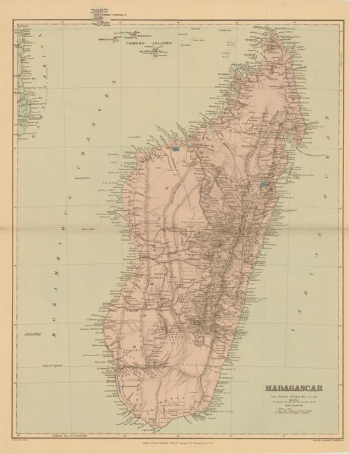
MapMaker: |
Edward Stanford
|
|
| |
| |
Subject: |
Madagascar |
|
| |
Period/Size: |
1901 / 23.5" x 18.8" (59.7 x 47.8 cm)
|
|
| |
Color: |
Colored
|
|
| |
Condition: |
Sturdy paper with a centerfold separation at left that just touches neatline, and a separation at right that enters 5.5" into map image have been closed on verso with Japanese tissue. (condition help) |
|
| |
Source: |
Stanford's London atlas of universal geography… |
|
| |
References: |
|
|
| |
|
|
| Sales Information |
| |
| |
Price: |
|
|
| |
| |
Offered by: |
Old World Auctions |
|
| |
Catalog: |
Auction No. 138 - Antique Maps, Charts, Atlases & Globes (7409) |
|
| |
Lot/Item #: |
802 |
|
| |
| |
Date: |
12/2011
|
|
| |
| |
|