| Item Detail |
| |
| |
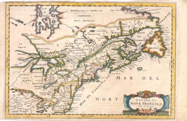
MapMaker: |
Nicolas Sanson
|
|
| |
| |
Subject: |
Colonial United States and Canada - Great Lakes |
|
| |
Period/Size: |
1679 / 8.3" x 12.0" (21.1 x 30.5 cm)
|
|
| |
Color: |
Colored
|
|
| |
Condition: |
Issued folding, now pressed. Trimmed close to neatline at top, with a light spot and a 1.5" tear at top that has been repaired with archival materials. There is marginal soiling and a few minute tears in blank margins, one of which just enters map borde (condition help) |
|
| |
Source: |
Die Gantze Erd-Kugel |
|
| |
References: |
Burden #325; Kershaw #139; McCorkle #679.3. |
|
| |
|
|
| Sales Information |
| |
| |
Price: |
|
|
| |
| |
Offered by: |
Old World Auctions |
|
| |
Catalog: |
Auction No. 138 - Antique Maps, Charts, Atlases & Globes (7409) |
|
| |
Lot/Item #: |
137 |
|
| |
| |
Date: |
12/2011
|
|
| |
| |
|