| Item Detail |
| |
| |
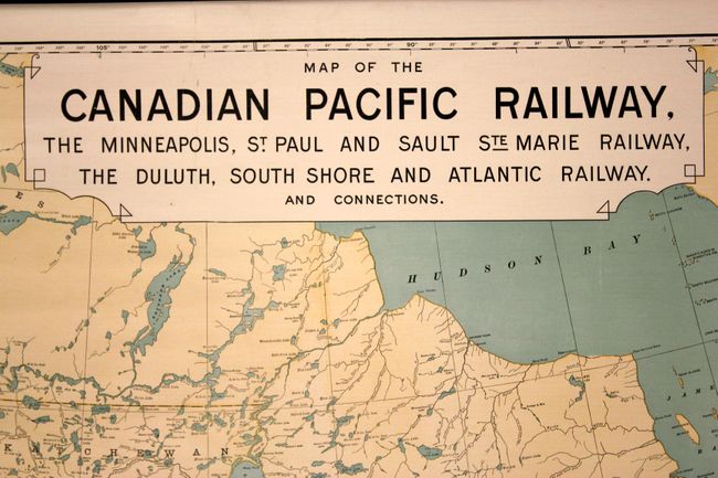
MapMaker: |
Poole Brothers
|
|
| |
| |
Subject: |
Canada & United States, Railroads |
|
| |
Period/Size: |
1902 / 32.0" x 58.0" (81.3 x 147.4 cm)
|
|
| |
Color: |
Colored
|
|
| |
Condition: |
Nice clean image on bright paper. There are a few stains in the upper portion of the map confined to the blank margins and two tiny edge tears also confined to the upper blank margins. The map is separated from the upper right roller for about 15 inches (condition help) |
|
| |
Source: |
|
|
| |
References: |
|
|
| |
|
|
| Sales Information |
| |
| |
Price: |
|
|
| |
| |
Offered by: |
Old World Auctions |
|
| |
Catalog: |
Auction No. 138 - Antique Maps, Charts, Atlases & Globes (7409) |
|
| |
Lot/Item #: |
147 |
|
| |
| |
Date: |
12/2011
|
|
| |
| |
|