| Item Detail |
| |
| |
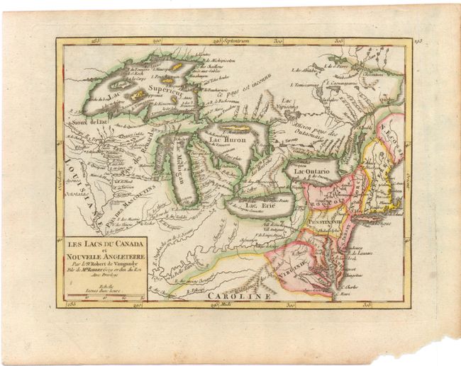
MapMaker: |
Didier Robert de Vaugondy
|
|
| |
| |
Subject: |
Eastern Canada & United States - Great Lakes |
|
| |
Period/Size: |
1749 / 6.5" x 8.5" (16.6 x 21.6 cm)
|
|
| |
Color: |
Colored
|
|
| |
Condition: |
Wide margins with marginal soiling and a chip in bottom right corner, far from map image. (condition help) |
|
| |
Source: |
Atlas Portatif |
|
| |
References: |
Pedley #457; McCorkle, B. (NE) #749.5. |
|
| |
|
|
| Sales Information |
| |
| |
Price: |
|
|
| |
| |
Offered by: |
Old World Auctions |
|
| |
Catalog: |
Auction No. 138 - Antique Maps, Charts, Atlases & Globes (7409) |
|
| |
Lot/Item #: |
150 |
|
| |
| |
Date: |
12/2011
|
|
| |
| |
|