Title:
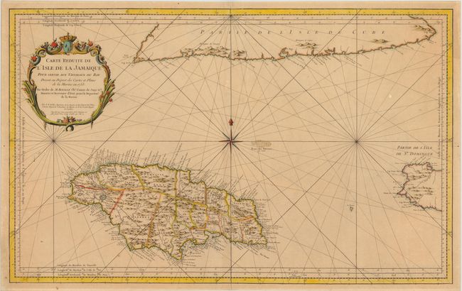
“Carte Reduite de l'Isle de la Jamaique pour Servir aux Vaisseaux du Roy…”
Map Maker:
Jacques Nicolas Bellin
Superb, large-scale sea chart of Jamaica that is p... (full text available to subscribers)
| Item Detail |
| |
| |
MapMaker: |
Jacques Nicolas Bellin
|
|
| |
| |
Subject: |
Jamaica |
|
| |
Period/Size: |
1753 / 21.5" x 34.5" (54.7 x 87.7 cm)
|
|
| |
Color: |
Colored
|
|
| |
Condition: |
A nice impression on sturdy paper. Lightly toned with a couple of insignificant spots. (condition help) |
|
| |
Source: |
Hydrographie Francoise… |
|
| |
References: |
Kapp (MCC-42) #66. |
|
| |
|
|
| Sales Information |
| |
| |
Price: |
|
|
| |
| |
Offered by: |
Old World Auctions |
|
| |
Catalog: |
Auction No. 139 - Antique Maps, Charts, Atlases & Globes (9028) |
|
| |
Lot/Item #: |
326 |
|
| |
| |
Date: |
02/2012
|
|
| |
| |
|
Antique Maps - Valuation and Pricing, Descriptions, Resources |
|
Home |
Information |
Search |
Register |
Contact Us |
Site Map
Americana Exchange, Inc. © 1999 - 2024 Americana Exchange, Inc.. All rights reserved.
OldMaps.com, the OldMaps.com logo and
AMPR are service marks or registered service marks of Americana Exchange, Inc..
|