| Item Detail |
| |
| |
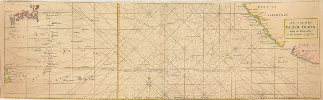
MapMaker: |
George Anson
|
|
| |
| |
Subject: |
Pacific Ocean |
|
| |
Period/Size: |
1748 / 10.5" x 34.8" (26.7 x 88.4 cm)
|
|
| |
Color: |
Colored
|
|
| |
Condition: |
Issued folding, now pressed, on watermarked paper. There is light, uneven toning and a small printer's ink smudge at bottom right. Narrow margins. (condition help) |
|
| |
Source: |
|
|
| |
References: |
Mercator's World Nov/Dec 1998 p. 47. |
|
| |
|
|
| Sales Information |
| |
| |
Price: |
|
|
| |
| |
Offered by: |
Old World Auctions |
|
| |
Catalog: |
Auction No. 139 - Antique Maps, Charts, Atlases & Globes (9028) |
|
| |
Lot/Item #: |
699 |
|
| |
| |
Date: |
02/2012
|
|
| |
| |
|