| Item Detail |
| |
| |
MapMaker: |
U.S. Pacific Railroad Surveys
|
|
| |
| |
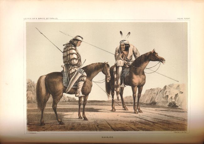
Subject: |
Exploration and Surveys |
|
| |
Period/Size: |
1856 / 11.5" x 9.0" (29.3 x 22.9 cm)
|
|
| |
Color: |
Black & White
|
|
| |
Condition: |
A number of the plates have some damp staining along with some isolated foxing. The pages are tight and generally clean with some light toning. The maps are generally good with some reinforcements on verso with archival tape, however the Wasatch Mountai (condition help) |
|
| |
Source: |
Ex. Doc. No. 91, 33d Cong., 2d Sess. |
|
| |
References: |
|
|
| |
|
|
| Sales Information |
| |
| |
Price: |
|
|
| |
| |
Offered by: |
Old World Auctions |
|
| |
Catalog: |
Auction No. 139 - Antique Maps, Charts, Atlases & Globes (9028) |
|
| |
Lot/Item #: |
779 |
|
| |
| |
Date: |
02/2012
|
|
| |
| |
|