| Item Detail |
| |
| |
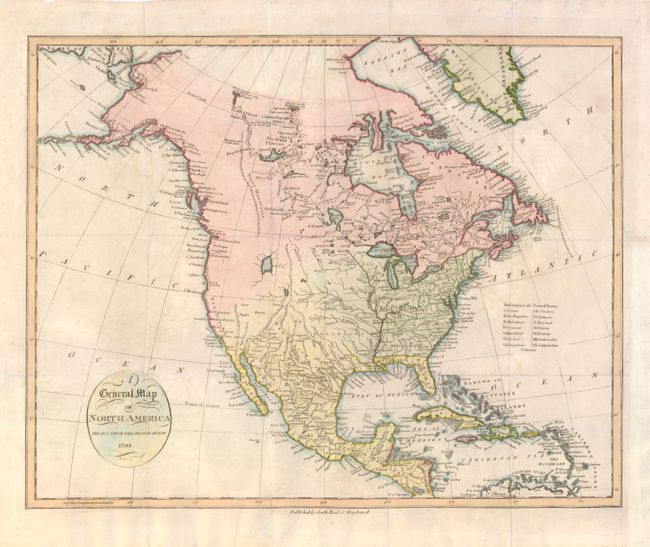
MapMaker: |
John Reid
|
|
| |
| |
Subject: |
North America |
|
| |
Period/Size: |
1795 / 14.3" x 18.0" (36.4 x 45.8 cm)
|
|
| |
Color: |
Colored
|
|
| |
Condition: |
Issued folded, now flattened with some tissue reinforced folds. The binding trim at lower right has been extended to better accommodate framing and a short binding tear that just enters the border has been repaired. (condition help) |
|
| |
Source: |
An Historical Geographical and Philosophical View… |
|
| |
References: |
Wheat [TMW] #233; Wheat & Brun #56. |
|
| |
|
|
| Sales Information |
| |
| |
Price: |
|
|
| |
| |
Offered by: |
Old World Auctions |
|
| |
Catalog: |
Auction No. 139 - Antique Maps, Charts, Atlases & Globes (9028) |
|
| |
Lot/Item #: |
103 |
|
| |
| |
Date: |
02/2012
|
|
| |
| |
|