| Item Detail |
| |
| |
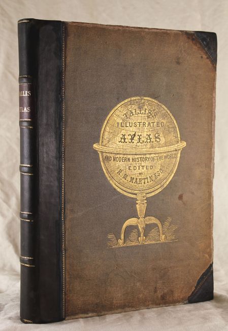
MapMaker: |
John Tallis
|
|
| |
| |
Subject: |
Atlases |
|
| |
Period/Size: |
1851 / 14.8" x 11.3" (37.6 x 28.7 cm)
|
|
| |
Color: |
Colored
|
|
| |
Condition: |
The maps are in original outline color and the vignettes and borders are uncolored, as issued. Maps are mostly fine to very good with just a few good due to small stains or light soiling, primarily in the blank margins. The map of Jamaica has some minor (condition help) |
|
| |
Source: |
|
|
| |
References: |
|
|
| |
|
|
| Sales Information |
| |
| |
Price: |
|
|
| |
| |
Offered by: |
Old World Auctions |
|
| |
Catalog: |
Auction No. 139 - Antique Maps, Charts, Atlases & Globes (9028) |
|
| |
Lot/Item #: |
757 |
|
| |
| |
Date: |
02/2012
|
|
| |
| |
|