| Item Detail |
| |
| |
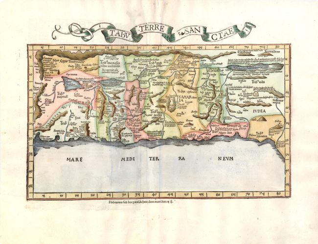
MapMaker: |
Ptolemy/Fries
|
|
| |
| |
Subject: |
Holy Land |
|
| |
Period/Size: |
1525 / 11.0" x 16.5" (28.0 x 42.0 cm)
|
|
| |
Color: |
Colored
|
|
| |
Condition: |
Watermarked paper with wide margins and tiny worm holes that have been professionally infilled with minute loss of image, as well as short centerfold separations in blank margins that have been professionally repaired. (condition help) |
|
| |
Source: |
Claudii Ptolemaei Geographicae… |
|
| |
References: |
cf Laor #612; Mickwitz & Miekkavaara (Nordenskiold) Vol. II #208-41. |
|
| |
|
|
| Sales Information |
| |
| |
Price: |
|
|
| |
| |
Offered by: |
Old World Auctions |
|
| |
Catalog: |
Auction No. 139 - Antique Maps, Charts, Atlases & Globes (9028) |
|
| |
Lot/Item #: |
580 |
|
| |
| |
Date: |
02/2012
|
|
| |
| |
|