| Item Detail |
| |
| |
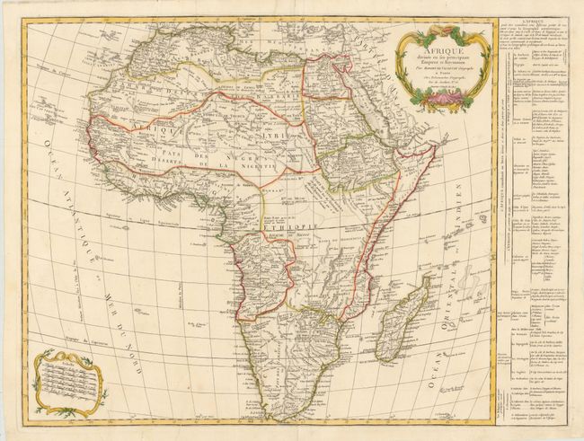
MapMaker: |
Robert de Vaugondy/Delamarche
|
|
| |
| |
Subject: |
Africa |
|
| |
Period/Size: |
1805 / 19.8" x 26.3" (50.3 x 66.8 cm)
|
|
| |
Color: |
Colored
|
|
| |
Condition: |
Original outline color on watermarked paper, with a few short, unobtrusive printer's creases. There is a professionally repaired centerfold separation that enters 10" into image at bottom, and some small worm tracks confined to blank margins that have al (condition help) |
|
| |
Source: |
|
|
| |
References: |
|
|
| |
|
|
| Sales Information |
| |
| |
Price: |
|
|
| |
| |
Offered by: |
Old World Auctions |
|
| |
Catalog: |
Auction No. 140 - Antique Maps, Charts, Atlases & Globes (9029) |
|
| |
Lot/Item #: |
807 |
|
| |
| |
Date: |
05/2012
|
|
| |
| |
|