| Item Detail |
| |
| |
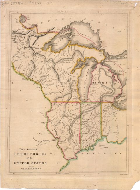
MapMaker: |
Mathew Carey
|
|
| |
| |
Subject: |
Central United States |
|
| |
Period/Size: |
1814 / 17.0" x 12.5" (43.2 x 31.8 cm)
|
|
| |
Color: |
Colored
|
|
| |
Condition: |
Original outline color on watermarked paper with light toning, a few tiny spots, and a small chip in bottom-left corner. There is a short tear that just enters map border at left, and one just outside of neatline at top left, that have both been closed o (condition help) |
|
| |
Source: |
General Atlasģ |
|
| |
References: |
Karpinski, p. 215, #27; Phillips (Atlases) #722-25. |
|
| |
|
|
| Sales Information |
| |
| |
Price: |
|
|
| |
| |
Offered by: |
Old World Auctions |
|
| |
Catalog: |
Auction No. 140 - Antique Maps, Charts, Atlases & Globes (9029) |
|
| |
Lot/Item #: |
181 |
|
| |
| |
Date: |
05/2012
|
|
| |
| |
|