Title:
“Atlas General de Geographie Physique, Politique et Historique”
Map Maker:
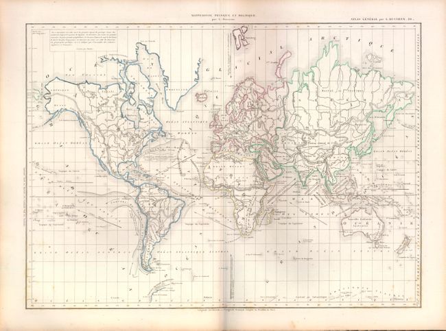
Louis Entienne Dussieux
This complete French atlas contains 59 maps, inclu... (full text available to subscribers)
| Item Detail |
| |
| |
MapMaker: |
Louis Entienne Dussieux
|
|
| |
| |
Subject: |
Atlases |
|
| |
Period/Size: |
1860 / 13.5" x 10.0" (34.3 x 25.4 cm)
|
|
| |
Color: |
Colored
|
|
| |
Condition: |
All maps are very good with some occasional scattered foxing, except for the historical map of France which is moderately toned. Covers are worn and bumped and the end papers and title pages show some light staining and foxing. (condition help) |
|
| |
Source: |
|
|
| |
References: |
|
|
| |
|
|
| Sales Information |
| |
| |
Price: |
|
|
| |
| |
Offered by: |
Old World Auctions |
|
| |
Catalog: |
Auction No. 140 - Antique Maps, Charts, Atlases & Globes (9029) |
|
| |
Lot/Item #: |
901 |
|
| |
| |
Date: |
05/2012
|
|
| |
| |
|
Antique Maps - Valuation and Pricing, Descriptions, Resources |
|
Home |
Information |
Search |
Register |
Contact Us |
Site Map
Americana Exchange, Inc. © 1999 - 2024 Americana Exchange, Inc.. All rights reserved.
OldMaps.com, the OldMaps.com logo and
AMPR are service marks or registered service marks of Americana Exchange, Inc..
|