| Item Detail |
| |
| |
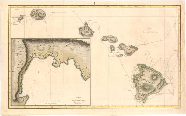
MapMaker: |
James Cook
|
|
| |
| |
Subject: |
Hawaii |
|
| |
Period/Size: |
1785 / 11.0" x 18.3" (28.0 x 46.5 cm)
|
|
| |
Color: |
Colored
|
|
| |
Condition: |
Issued folding, now pressed. Attractive color with a few insignificant spots and minor creasing. There are a couple of short tears in blank margins that have been archivally repaired. (condition help) |
|
| |
Source: |
A Voyage to the Pacific Ocean |
|
| |
References: |
Fitzpatrick, pp. 15-18, plt. 2. |
|
| |
|
|
| Sales Information |
| |
| |
Price: |
|
|
| |
| |
Offered by: |
Old World Auctions |
|
| |
Catalog: |
Auction No. 140 - Antique Maps, Charts, Atlases & Globes (9029) |
|
| |
Lot/Item #: |
237 |
|
| |
| |
Date: |
05/2012
|
|
| |
| |
|