| Item Detail |
| |
| |
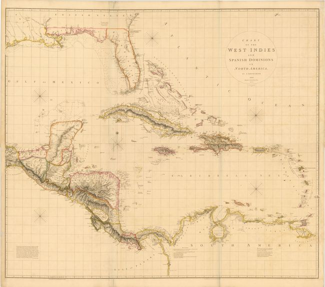
MapMaker: |
Aaron Arrowsmith, Sr.
|
|
| |
| |
Subject: |
Gulf of Mexico and Caribbean |
|
| |
Period/Size: |
1810 / 23.8" x 55.1" (60.5 x 140.0 cm)
|
|
| |
Color: |
Colored
|
|
| |
Condition: |
Original color with light offsetting, a few small spots, and toning in left blank margin extending into border. There are some short fold separations that have been archivally repaired. (condition help) |
|
| |
Source: |
|
|
| |
References: |
Stevens & Tree (MCC-39) #89b. |
|
| |
|
|
| Sales Information |
| |
| |
Price: |
|
|
| |
| |
Offered by: |
Old World Auctions |
|
| |
Catalog: |
Auction No. 140 - Antique Maps, Charts, Atlases & Globes (9029) |
|
| |
Lot/Item #: |
347 |
|
| |
| |
Date: |
05/2012
|
|
| |
| |
|