| Item Detail |
| |
| |
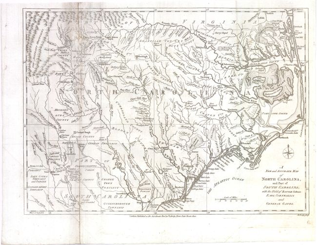
MapMaker: |
John Lodge
|
|
| |
| |
Subject: |
Colonial Southeast |
|
| |
Period/Size: |
1780 / 10.8" x 15.0" (27.5 x 38.1 cm)
|
|
| |
Color: |
Black & White
|
|
| |
Condition: |
Issued folding, now pressed with light soiling. There are several fold separations, tears, extraneous creases and small holes along left-hand fold that have all been closed on verso with archival materials, with minute loss of image. (condition help) |
|
| |
Source: |
Political Magazine |
|
| |
References: |
Jolly #POL-16. |
|
| |
|
|
| Sales Information |
| |
| |
Price: |
|
|
| |
| |
Offered by: |
Old World Auctions |
|
| |
Catalog: |
Auction No. 140 - Antique Maps, Charts, Atlases & Globes (9029) |
|
| |
Lot/Item #: |
169 |
|
| |
| |
Date: |
05/2012
|
|
| |
| |
|