| Item Detail |
| |
| |
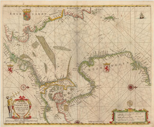
MapMaker: |
Pieter Goos
|
|
| |
| |
Subject: |
North Sea |
|
| |
Period/Size: |
1669 / 17.5" x 22.0" (44.5 x 55.9 cm)
|
|
| |
Color: |
Colored
|
|
| |
Condition: |
Lightly soiled with a couple of minute holes in unengraved areas of the map and a printer's crease adjacent to the centerfold. (condition help) |
|
| |
Source: |
De Zee-Atlas, Ofte Water-Weereld… |
|
| |
References: |
Tooley (MCC-70) #290; Putnam, Early Sea Charts, pp. 99-100. |
|
| |
|
|
| Sales Information |
| |
| |
Price: |
|
|
| |
| |
Offered by: |
Old World Auctions |
|
| |
Catalog: |
Auction No. 140 - Antique Maps, Charts, Atlases & Globes (9029) |
|
| |
Lot/Item #: |
488 |
|
| |
| |
Date: |
05/2012
|
|
| |
| |
|