| Item Detail |
| |
| |
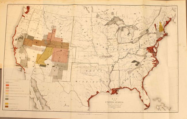
MapMaker: |
John Wesley Powell
|
|
| |
| |
Subject: |
United States |
|
| |
Period/Size: |
1883 / 17.5" x 28.0" (44.5 x 71.2 cm)
|
|
| |
Color: |
Colored
|
|
| |
Condition: |
Map is clean and bright with a fold separation that extends 0.75" beyond the neatline at top, minor damp stains in the top blank margin that extend just past the border along two folds, and a few ink smudges at far right. (condition help) |
|
| |
Source: |
|
|
| |
References: |
|
|
| |
|
|
| Sales Information |
| |
| |
Price: |
|
|
| |
| |
Offered by: |
Old World Auctions |
|
| |
Catalog: |
Auction No. 140 - Antique Maps, Charts, Atlases & Globes (9029) |
|
| |
Lot/Item #: |
141 |
|
| |
| |
Date: |
05/2012
|
|
| |
| |
|