| Item Detail |
| |
| |
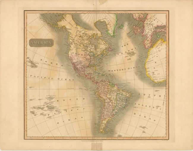
MapMaker: |
John Thomson [& Co.]
|
|
| |
| |
Subject: |
Western Hemisphere |
|
| |
Period/Size: |
1813 / 19.5" x 23.5" (49.6 x 59.7 cm)
|
|
| |
Color: |
Colored
|
|
| |
Condition: |
(B ) There is offsetting in the image and a tear that enters 1" into map at bottom that has been closed on verso with archival tape. There is an unrepaired centerfold separation at top that just passes the neatline, and one at bottom that enters 7.5" i (condition help) |
|
| |
Source: |
New General Atlas |
|
| |
References: |
Phillips (A) 731-52. |
|
| |
|
|
| Sales Information |
| |
| |
Price: |
|
|
| |
| |
Offered by: |
Old World Auctions |
|
| |
Catalog: |
Auction No. 141 - Antique Maps, Charts, Atlases & Globes (9037) |
|
| |
Lot/Item #: |
85 |
|
| |
| |
Date: |
09/2012
|
|
| |
| |
|