| Item Detail |
| |
| |
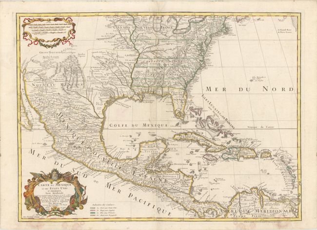
MapMaker: |
Delisle/Dezauche
|
|
| |
| |
Subject: |
Colonial North America and Caribbean |
|
| |
Period/Size: |
1783 / 19.0" x 25.5" (48.3 x 64.8 cm)
|
|
| |
Color: |
Colored
|
|
| |
Condition: |
(B+ ) Some minor paper repairs along centerfold at top, with a few minute worm holes only visible when held to light, and some light damp stains just entering map image at bottom. There are some worm tracks in bottom blank margin, two of which enter map (condition help) |
|
| |
Source: |
|
|
| |
References: |
Tooley (Amer) p.22 #53; cf Cumming (SE) #137; Martin (TX) p.92-3. |
|
| |
|
|
| Sales Information |
| |
| |
Price: |
|
|
| |
| |
Offered by: |
Old World Auctions |
|
| |
Catalog: |
Auction No. 141 - Antique Maps, Charts, Atlases & Globes (9037) |
|
| |
Lot/Item #: |
109 |
|
| |
| |
Date: |
09/2012
|
|
| |
| |
|