| Item Detail |
| |
| |
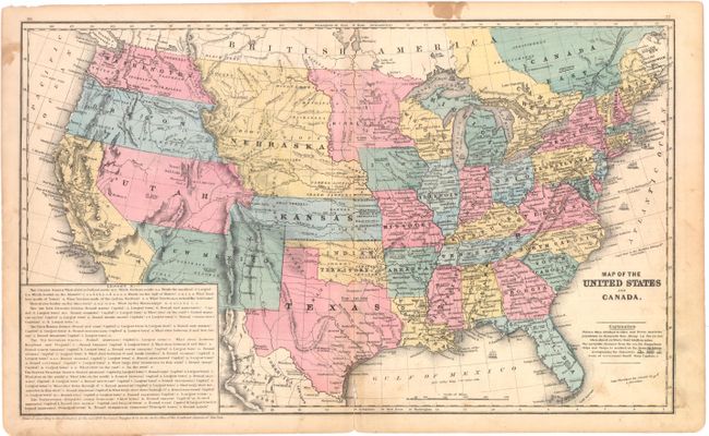
MapMaker: |
Daniel Burgess [& Co.]
|
|
| |
| |
Subject: |
United States |
|
| |
Period/Size: |
1853 / 10.6" x 17.7" (27.0 x 45.0 cm)
|
|
| |
Color: |
Colored
|
|
| |
Condition: |
(B ) Original color with a centerfold separation at bottom that enters 1" into map image with tiny loss of image, some light soiling, and a few stains primarily confined to the blank margins. (condition help) |
|
| |
Source: |
|
|
| |
References: |
|
|
| |
|
|
| Sales Information |
| |
| |
Price: |
|
|
| |
| |
Offered by: |
Old World Auctions |
|
| |
Catalog: |
Auction No. 141 - Antique Maps, Charts, Atlases & Globes (9037) |
|
| |
Lot/Item #: |
144 |
|
| |
| |
Date: |
09/2012
|
|
| |
| |
|