| Item Detail |
| |
| |
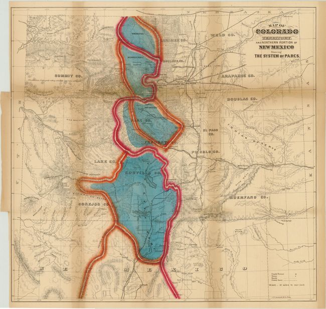
MapMaker: |
William Gilpin
|
|
| |
| |
Subject: |
Colorado |
|
| |
Period/Size: |
1874 / 20.3" x 20.8" (51.6 x 52.9 cm)
|
|
| |
Color: |
Colored
|
|
| |
Condition: |
(B ) Very strong original hand color and crisp impression. Folding as issued with toning along the folds and separations along folds, some of which have been closed on verso with archival tape. Previously bound into book from center panel, resulting in (condition help) |
|
| |
Source: |
Mission of the North American People, Geographical, Social and Political |
|
| |
References: |
|
|
| |
|
|
| Sales Information |
| |
| |
Price: |
|
|
| |
| |
Offered by: |
Old World Auctions |
|
| |
Catalog: |
Auction No. 141 - Antique Maps, Charts, Atlases & Globes (9037) |
|
| |
Lot/Item #: |
206 |
|
| |
| |
Date: |
09/2012
|
|
| |
| |
|