| Item Detail |
| |
| |
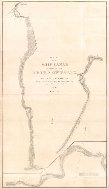
MapMaker: |
U.S. Corps of Engineers
|
|
| |
| |
Subject: |
Erie Canal, New York |
|
| |
Period/Size: |
1835 / 28.0" x 48.5" (71.2 x 123.2 cm)
|
|
| |
Color: |
Black & White
|
|
| |
Condition: |
(B ) Folding with minor offsetting, light soiling and a few creases. There are fold separations and tiny holes along folds that have been archivally repaired. There are 3" chips at left near the center and in bottom left corner that have been reattach (condition help) |
|
| |
Source: |
|
|
| |
References: |
|
|
| |
|
|
| Sales Information |
| |
| |
Price: |
|
|
| |
| |
Offered by: |
Old World Auctions |
|
| |
Catalog: |
Auction No. 141 - Antique Maps, Charts, Atlases & Globes (9037) |
|
| |
Lot/Item #: |
259 |
|
| |
| |
Date: |
09/2012
|
|
| |
| |
|