| Item Detail |
| |
| |
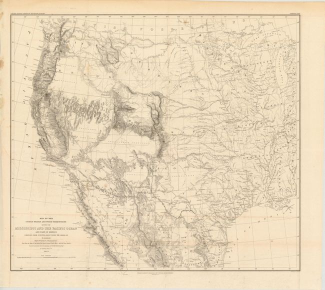
MapMaker: |
William Hemsley Emory
|
|
| |
| |
Subject: |
Western United States and Mexico |
|
| |
Period/Size: |
1857-58 / 20.2" x 22.8" (51.3 x 58.0 cm)
|
|
| |
Color: |
Black & White
|
|
| |
Condition: |
(B+ ) Issued folding, with a 1" separation at center, a few small spots, and some faint toning along the folds. There is an edge tear that just extends past the neatline at left that has been repaired on verso with archival material. (condition help) |
|
| |
Source: |
Mexican Boundary Survey |
|
| |
References: |
Wheat (TMW) #916. |
|
| |
|
|
| Sales Information |
| |
| |
Price: |
|
|
| |
| |
Offered by: |
Old World Auctions |
|
| |
Catalog: |
Auction No. 141 - Antique Maps, Charts, Atlases & Globes (9037) |
|
| |
Lot/Item #: |
287 |
|
| |
| |
Date: |
09/2012
|
|
| |
| |
|