| Item Detail |
| |
| |
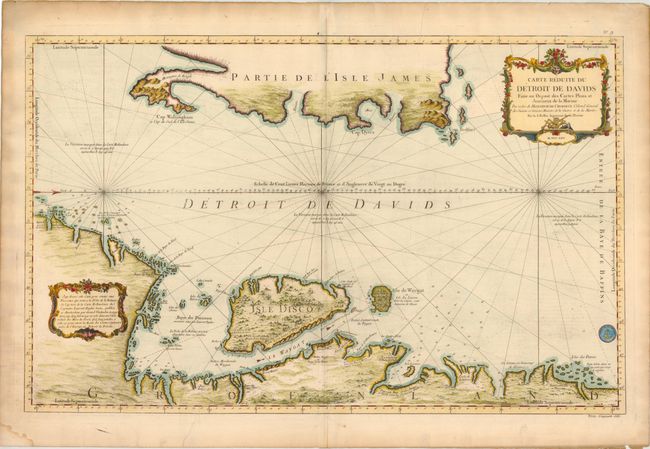
MapMaker: |
Jacques Nicolas Bellin
|
|
| |
| |
Subject: |
Greenland, Canada |
|
| |
Period/Size: |
1765 / 21.5" x 34.0" (54.7 x 86.4 cm)
|
|
| |
Color: |
Colored
|
|
| |
Condition: |
(B+ ) On heavy, watermarked paper with light soiling and a few short printer's creases that just enter map image at top and bottom. There is light toning and a few short tears in blank margins, as well as a small damp stain in bottom left corner, far fr (condition help) |
|
| |
Source: |
|
|
| |
References: |
|
|
| |
|
|
| Sales Information |
| |
| |
Price: |
|
|
| |
| |
Offered by: |
Old World Auctions |
|
| |
Catalog: |
Auction No. 141 - Antique Maps, Charts, Atlases & Globes (9037) |
|
| |
Lot/Item #: |
377 |
|
| |
| |
Date: |
09/2012
|
|
| |
| |
|