| Item Detail |
| |
| |
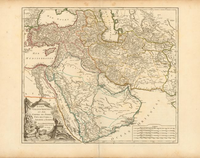
MapMaker: |
Didier Robert de Vaugondy
|
|
| |
| |
Subject: |
Near and Middle East |
|
| |
Period/Size: |
1753 / 19.0" x 21.8" (48.3 x 55.4 cm)
|
|
| |
Color: |
Colored
|
|
| |
Condition: |
(B+ ) Original outline color on watermarked paper with wide margins. There are a few faint spots at top, a printer's crease along centerfold at bottom, and a short centerfold separation in bottom blank margin, far from map image. (condition help) |
|
| |
Source: |
Atlas Universel |
|
| |
References: |
Pedley #389; Ankary, p. 352-53. |
|
| |
|
|
| Sales Information |
| |
| |
Price: |
|
|
| |
| |
Offered by: |
Old World Auctions |
|
| |
Catalog: |
Auction No. 142 - Antique Maps, Charts, Atlases & Globes (9038) |
|
| |
Lot/Item #: |
600 |
|
| |
| |
Date: |
12/2012
|
|
| |
| |
|